
Explore the great outdoors with the Landranger Series of OS Maps, perfect for day trips and short breaks across Great Britain. Each map offers clear, easy-to-read coverage of 40 by 40 kilometres (25 by 25 miles) at a 1:50,000 scale, complete with National Grid squares for precise navigation. Discover various points of interest, including picnic areas, campsites, and tourist information, as well as Rights of Way details for England and Wales. The Active version features a durable, weatherproof plastic coating, ensuring it withstands the elements while remaining easy to fold and fit into your pocket or rucksack. Upon receiving your paper map, you can also download the electronic version for iOS or Android via the Ordnance Survey’s OS Maps app. Simply scratch off the panel on the inside cover to reveal your unique code, which is necessary for the download. Please note that once the code is uncovered, the map is non-returnable, though your statutory rights remain unaffected. Get ready for your next adventure with Landranger Maps!
Sale


Active Landranger Map 55 Lochgilphead and Loch Awe
Original price was: $22.53.$6.76Current price is: $6.76.
1000 in stock
1000 in stock
Related Products
-
 Sale
Sale
-
 Sale
Sale
-
 Sale
Equipment
Sale
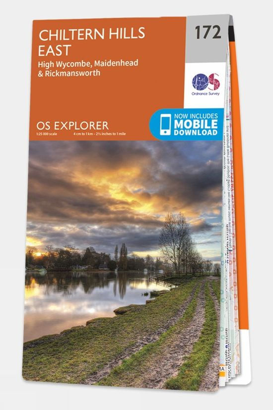
EquipmentExplorer Map 172 Chiltern Hills East
Original price was: $17.23.$5.17Current price is: $5.17. -
 Sale
Equipment
Sale
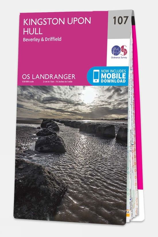
EquipmentLandranger Map 107 Kingston upon Hull
Original price was: $17.23.$5.17Current price is: $5.17. -
 Sale
Sale
-
 Sale
Equipment
Sale
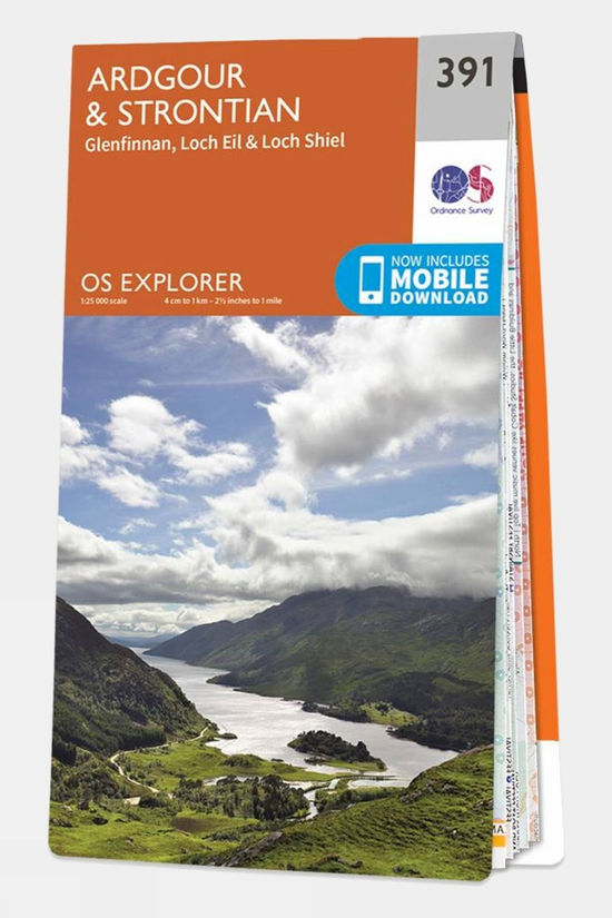
EquipmentExplorer Map 391 Ardgour and Strontian
Original price was: $17.23.$5.17Current price is: $5.17.

Reviews
There are no reviews yet.