
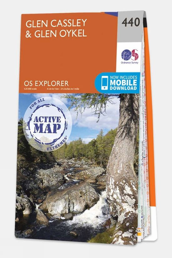
The Active Explorer Map is a meticulously detailed map designed for outdoor enthusiasts. Featuring a 1:25,000 scale, it offers comprehensive coverage with National Grid squares for precise navigation. This map includes valuable information on areas of interest, picnic spots, campsites and National Trails. Its plastic-coated, weatherproof design ensures durability in all conditions while still being foldable for convenience. Additionally, a unique code allows you to download the digital version for iOS or Android via the OS Maps app, making it a versatile companion for any adventure.
Sale


Explorer Map 142 Shepton Mallet and Mendip Hills East
Original price was: $17.23.$5.17Current price is: $5.17.
1000 in stock
1000 in stock
Related Products
-
 Sale
Equipment
Sale
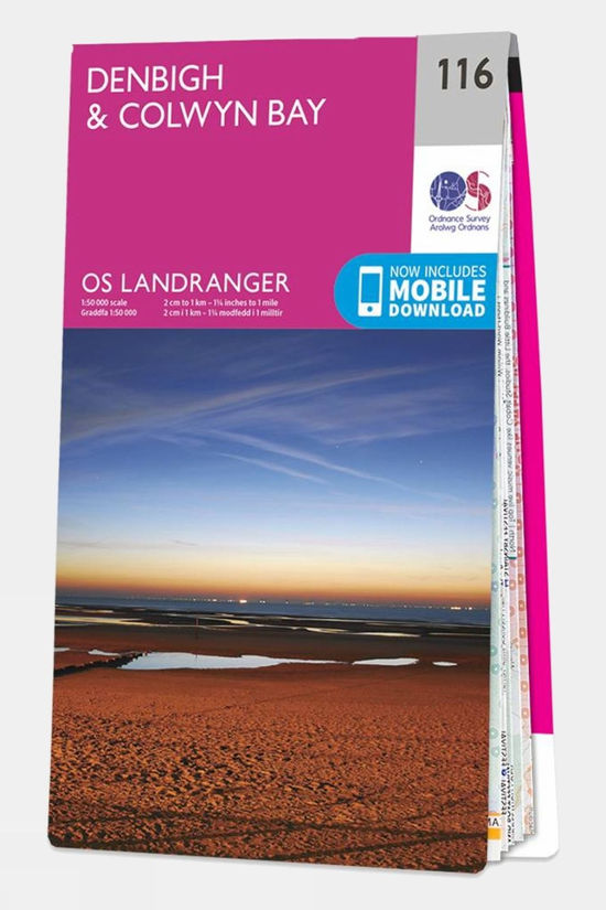
EquipmentLandranger Map 116 Denbigh and Colwyn Bay
Original price was: $17.23.$5.17Current price is: $5.17. -
 Sale
Equipment
Sale
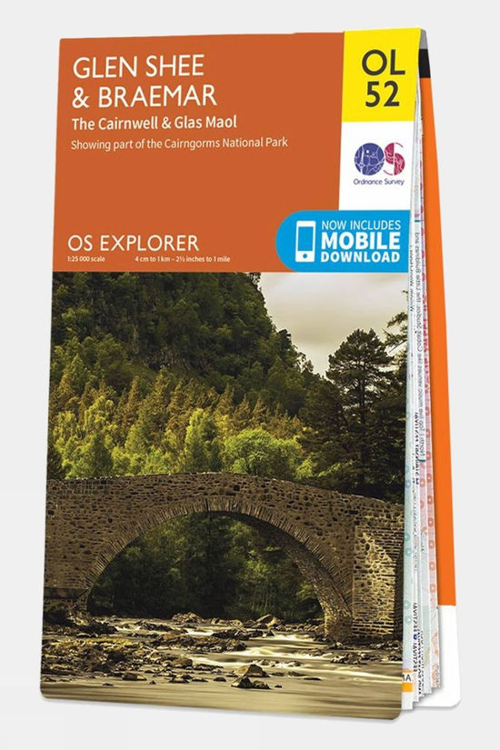
EquipmentExplorer Map OL52 Glen Shee and Braemar
Original price was: $17.23.$5.17Current price is: $5.17. -
 Sale
Sale
-
 Sale
Equipment
Sale
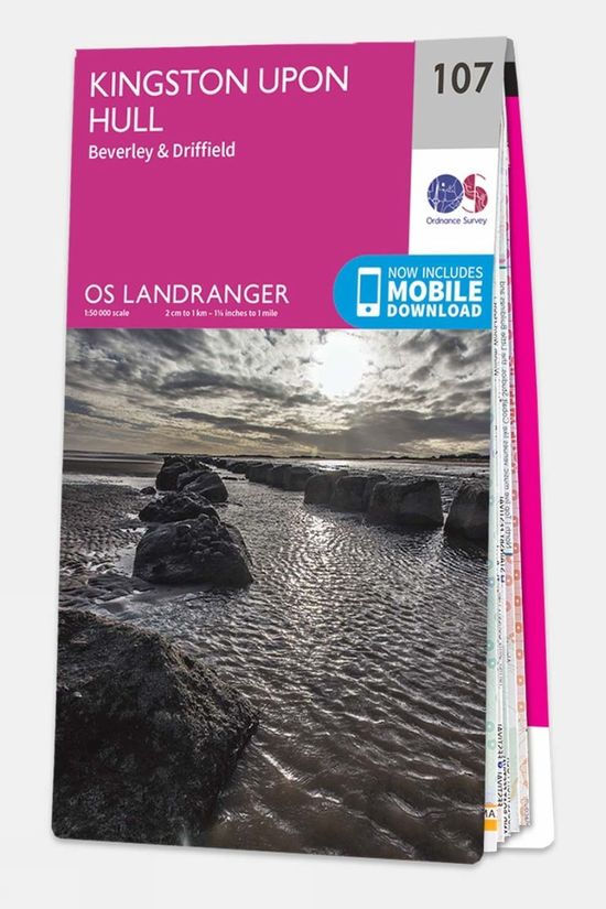
EquipmentLandranger Map 107 Kingston upon Hull
Original price was: $17.23.$5.17Current price is: $5.17. -
 Sale
Equipment
Sale
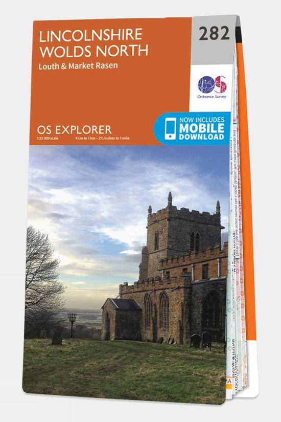
EquipmentExplorer Map 282 Lincolnshire Wolds North
Original price was: $17.23.$5.17Current price is: $5.17. -
 Sale
Equipment
Sale
EquipmentActive Explorer Map 440 Glen Cassley and Glen Oykel
Original price was: $22.53.$6.76Current price is: $6.76.
Reviews
There are no reviews yet.